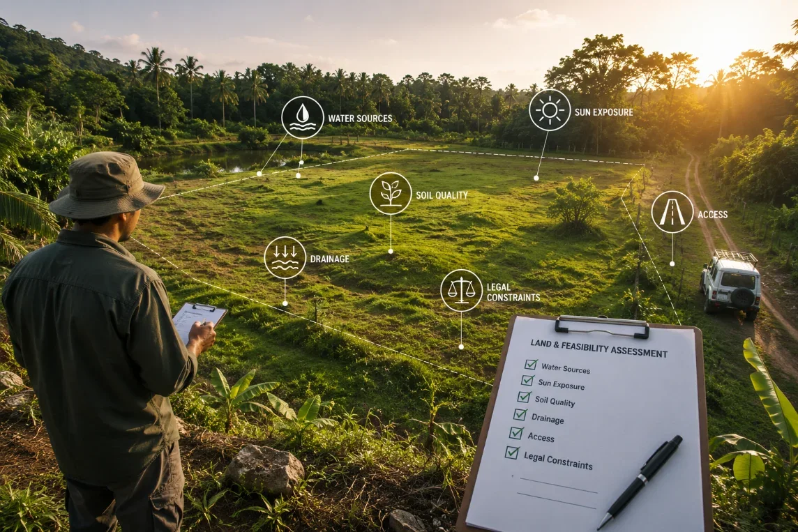
This is an authentic sample of the 11-page technical report Beyond The Grid compiles following our 2-day on-site drone survey, soil pit analysis, and hydrological testing. Use the dropdown above or keyboard arrow keys to inspect each page.
SAMPLE
Land Viability Report
Sample report · For illustration only
Land Viability Report
2.5-acre hillside plot, Lenggeng, Negeri Sembilan. Assessment of water, energy, food, access and cost for a permanently occupied off-grid household.
PREPARED BY Beyond the Grid
REPORT REF BTG-LVR-SAMPLE-01
SITE VISITS 2 · drone + soil pits
VERDICT Viable with conditions
SAMPLE
01 · Summary & verdictLenggeng, Negeri Sembilan
Viable with conditions.
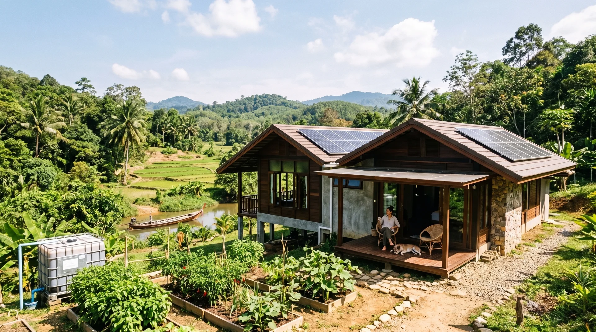
The plot can support a household year-round on its own water, power and a large share of its food. Three conditions must be met before committing to the build: a dry-season water yield test, a stabilised access track, and a slope-aware house pad on the upper terrace.
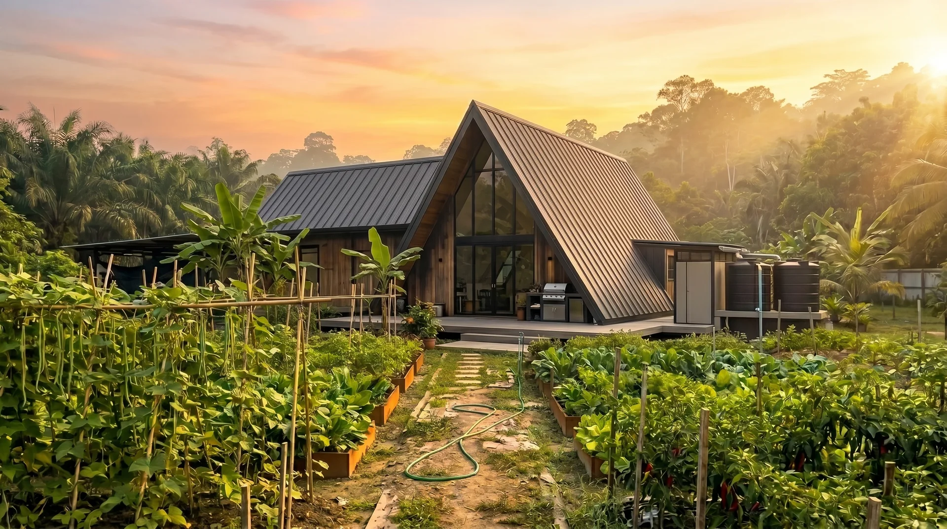
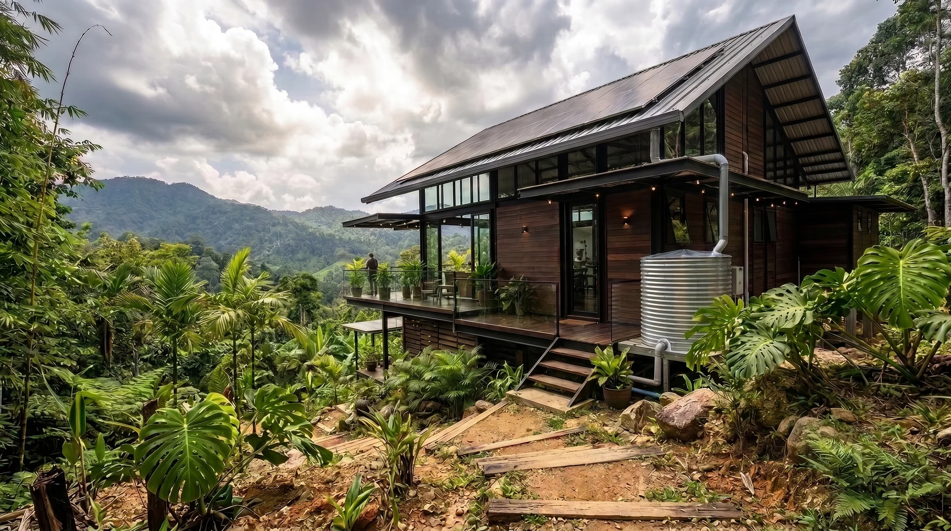
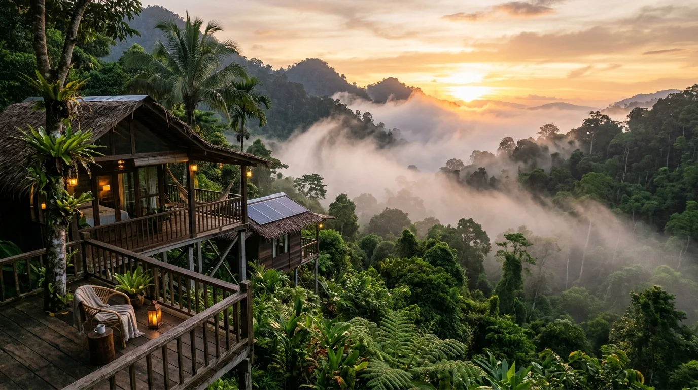
Site walk, upper terrace, looking south-east toward the stream.
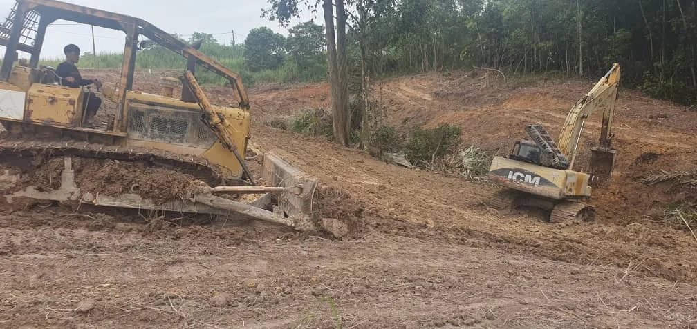
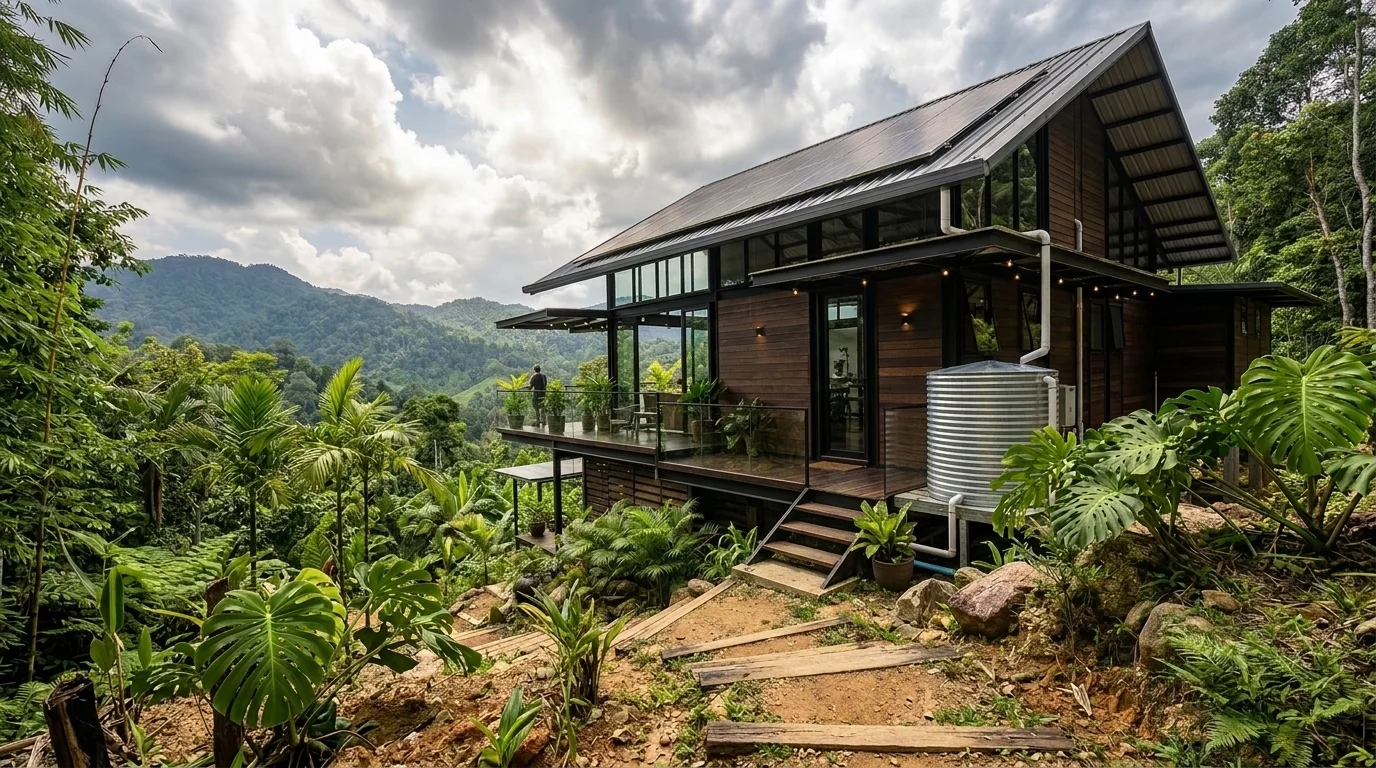
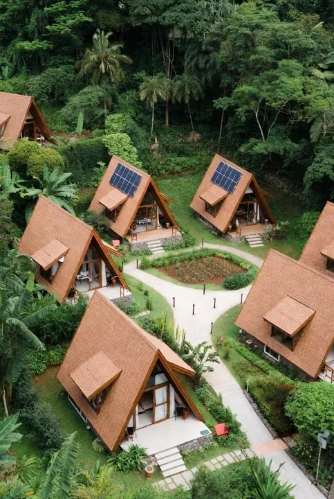
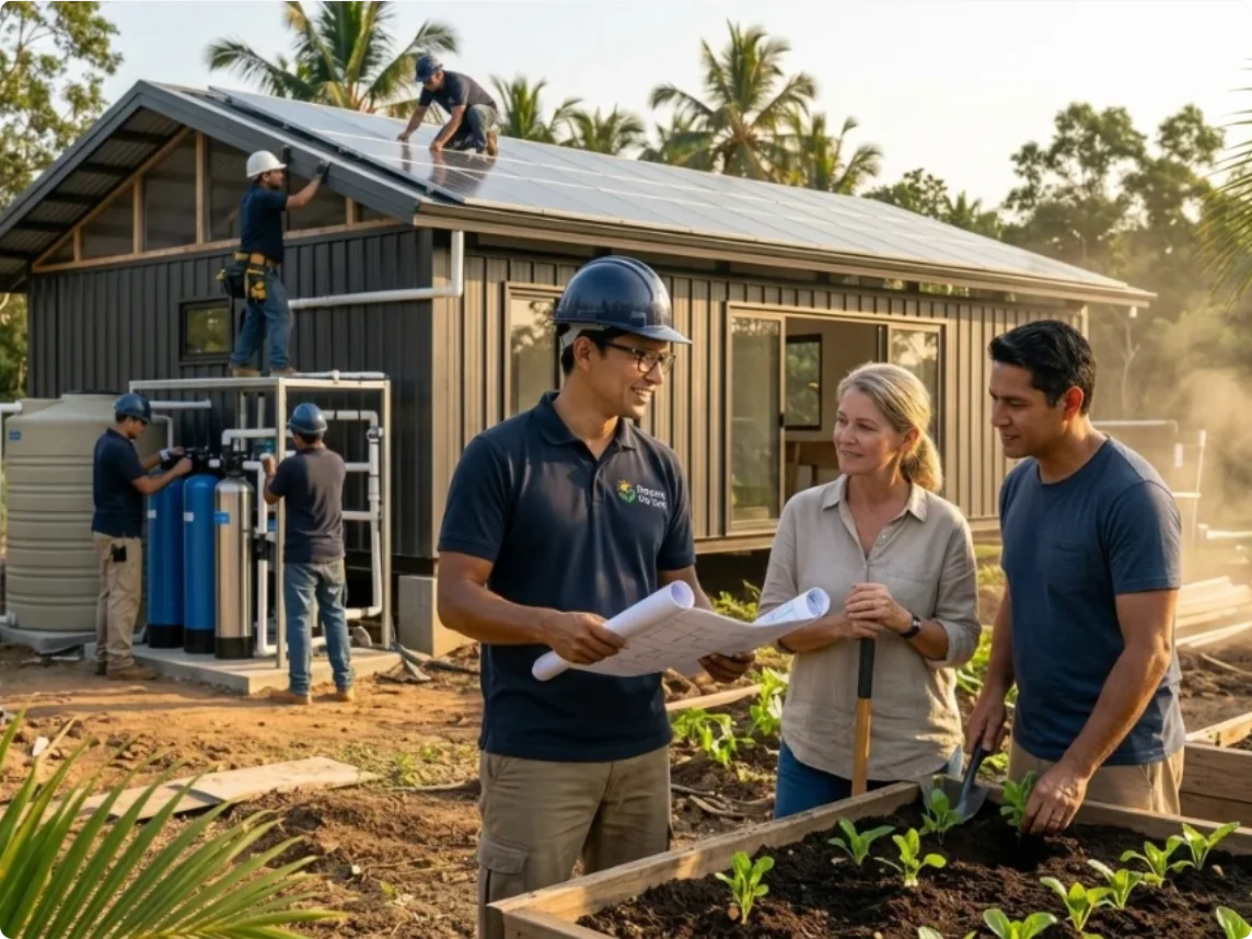
Reference build: platform cut on comparable slope, month one.
What works
Perennial stream on the east boundary, 38 m above the house pad — gravity supply, no pump.
Open southern exposure; 4.1 kWh/m²/day mean solar resource.
Existing 2.8 km unsealed track to a tarred district road.
~4,800 m² of deep, well-drained loam on the mid terrace.
Conditions
Confirm stream yield in the Feb–Mar dry spell (min. 2,000 L/day).
Regrade and drain the final 400 m of track before deliveries.
House pad cut kept under 1.2 m; gabion retaining.
Confirm residential use on pertanian title with the council.
02 · Location, access & titleLenggeng, Negeri Sembilan
Forty minutes from town, one bad track from the road.
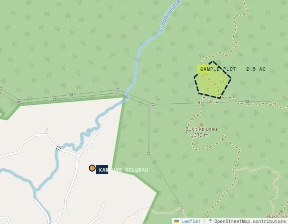
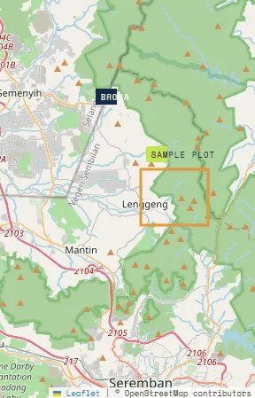
The plot sits on the forested hillside slopes (372 m) in Mukim Lenggeng, Seremban district, Negeri Sembilan. Kuala Lumpur is roughly 60 km north via Semenyih; clinic, hardware and wet market are in Lenggeng town, about 5 km by road.
Area2.5 acres (1.01 ha), irregularElevation310–352 m above sea levelTitleIndividual freehold, category pertanian. Residential use needs council confirmation.GridNearest TNB pole 1.9 km — connection uneconomicMobile4G, 2 bars at ridge; nil in the valleyAccess2.8 km unsealed track; last 400 m rutted, 4WD only in rainNeighboursSmallholder durian to the north; state forest reserve beyond the stream
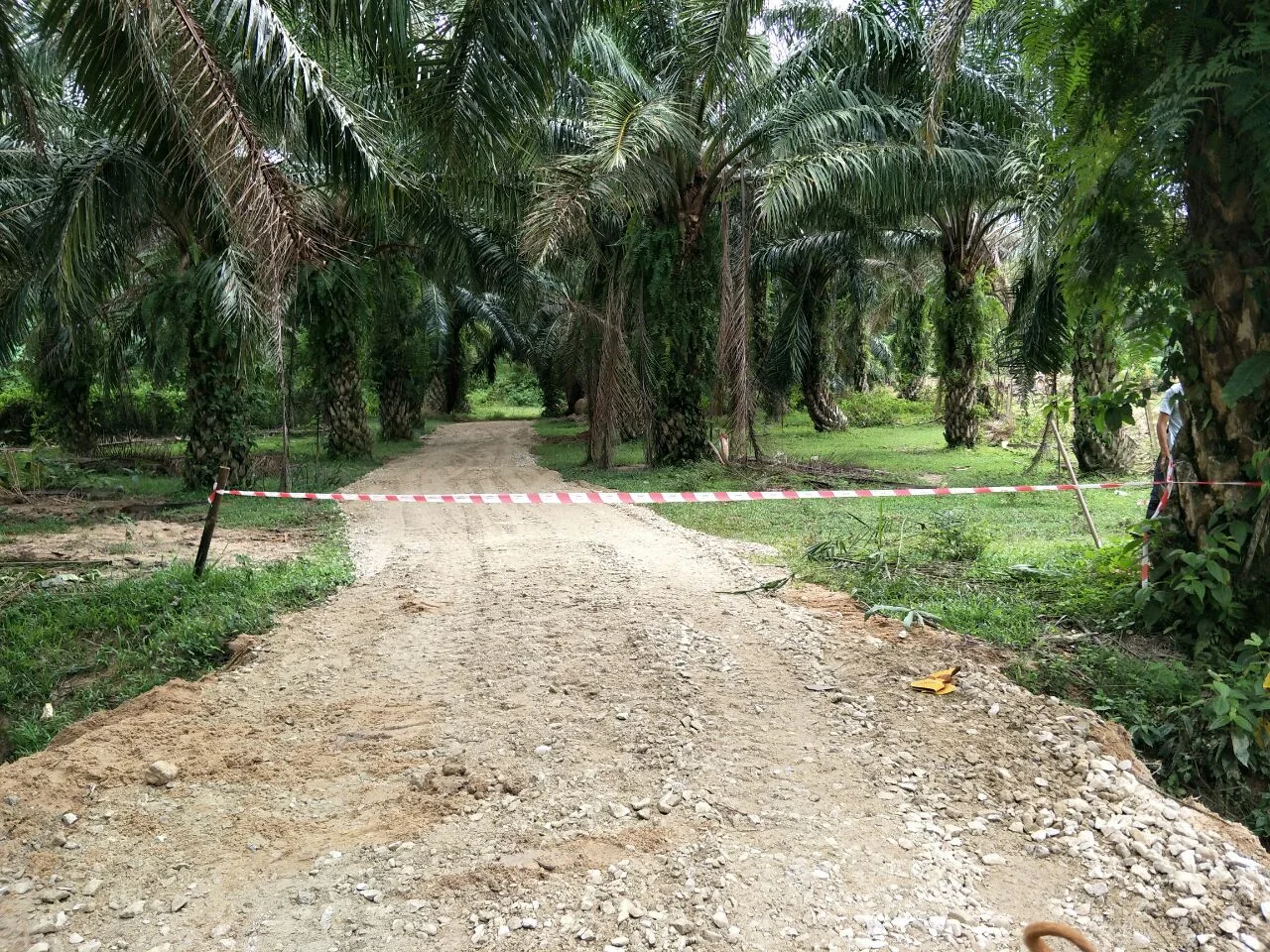
Track entrance: gravel wearing course laid on the first stretch off the district road.
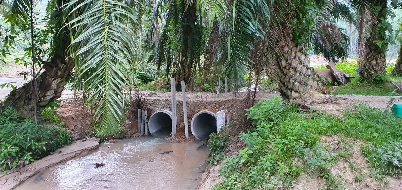
Twin culverts at the stream crossing — the cross-drains the final 400 m still needs.
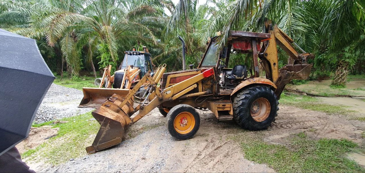
Machinery reached the boundary in dry conditions; the same track is impassable to lorries in heavy rain.
Access assessment
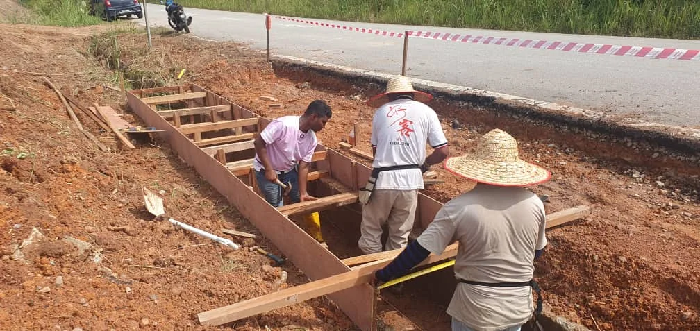
A 3-tonne lorry reached the boundary in dry conditions. Monsoon delivery (Nov–Jan) is unreliable without regrading the final 400 m, two cross-drains and a gravel wearing course. Budgeted RM 9,000–12,000 and treated as a precondition of the build.
Schematic layout on the drone-derived contours. House and array sit on the upper terrace for drainage, sun and breeze; growing on the mid terrace; the lower bench and a 20 m stream buffer are left unbuilt.
Upper-terrace compound, ~1,800 m² inside the fence. Everything that uses water sits below the tanks; everything that makes noise or smell sits downwind and downslope of the verandah. Sample layout for a family of four, 90 m² house.
House
Long axis east–west, verandah south for shade and monsoon breeze; bedrooms on the cooler east end.
Tanks & filter
West of house, 2 m above floor level so kitchen and bath run on gravity alone.
Array & utility core
Array on open ground north-east, 8 m from the battery room to keep cable runs short and heat out of the house.
Kitchen garden
Within 10 m of the kitchen door — the beds you see get weeded. Hens rotate onto them between crops.
Septic & banana circle
Downslope of the house, 30 m from the stream; greywater feeds the bananas, blackwater to septic.
Turning & drop
Gravelled circle sized for a 3-tonne lorry, so materials never get carried by hand uphill.
05 · Topography & drone surveyLenggeng, Negeri Sembilan
Three terraces, one buildable.
A 62-image drone survey at 80 m produced a 4 cm/pixel orthomosaic and elevation model, summarised here as a section and slope-class map. The plot falls 42 m from the north-west corner to the stream in three distinct benches.
Schematic cross-section NW–SE from the drone elevation model (not to scale). Orthomosaic and DEM are supplied with a commissioned report.
Slope classes: green <12° buildable, lime 4–7° growing, amber >18° retain under cover.
Upper terrace: proposed house pad.
Mid terrace: growing ground.
Lower bench to the stream.
Upper terrace
8–12° slope
House pad. Stable residual soil, 340–352 m, morning sun, ridge breeze. Cut under 1.2 m.
Mid terrace
4–7° slope
Best ground, ~4,800 m². Deep loam, gentle fall. Beds, poultry, staples.
Lower bench
18–26° slope
Riparian strip. No building or clearing; fruit trees and buffer. Flood mark 1.4 m above bed.
06 · Water sources & yieldLenggeng, Negeri Sembilan
Gravity does the work. The dry season sets the limit.
The east-boundary stream was flowing at roughly 9,000 L/day at the wet-season visit. Intake at 352 m and house pad at 314 m gives 38 m of head — about 3.7 bar at the tap with no pump.
Proposed intake, 352 m.
Pipe route to settlement tank.
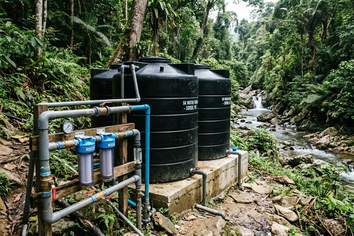
Reference build: 2 × 5,000 L storage.
Daily demand vs supply
Household (4 people)
800 LPoultry & goats
350 LIrrigation, dry spell
2,200 LTotal demand
3,350 LStream, wet season
~9,000 LStream, dry season
TBD — Field Test
Dry-season flow is the one unknown that decides whether irrigation is cut back. A February bucket test is the first condition of this verdict.
Proposed system
Screened intake box in stream, 352 m.
250 m of 50 mm HDPE to a 2,000 L settlement tank.
Slow sand filter, then 2 × 5,000 L storage (10,000 L ≈ 3 days).
UV at the kitchen tap only; greywater to banana circle.
Rain catchment from 90 m² roof as second source (~150,000 L/yr).
07 · Solar resource & energy sizingLenggeng, Negeri Sembilan
Sized for the worst monsoon week, not the best day.
The upper terrace has an unobstructed southern horizon; ridge trees to the north-east shade the pad before 8 am only. Mean solar resource is 4.1 kWh/m²/day, dropping to about 2.6 in the wettest weeks of December.
Reference build: 5 kW ground-mounted array at 10° tilt.
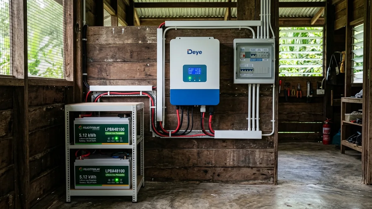
Reference build: 10 kWh LiFePO₄ and 5 kVA hybrid inverter.
08 · Soil & food productionLenggeng, Negeri Sembilan
Eighty percent of vegetables, all of the meat.
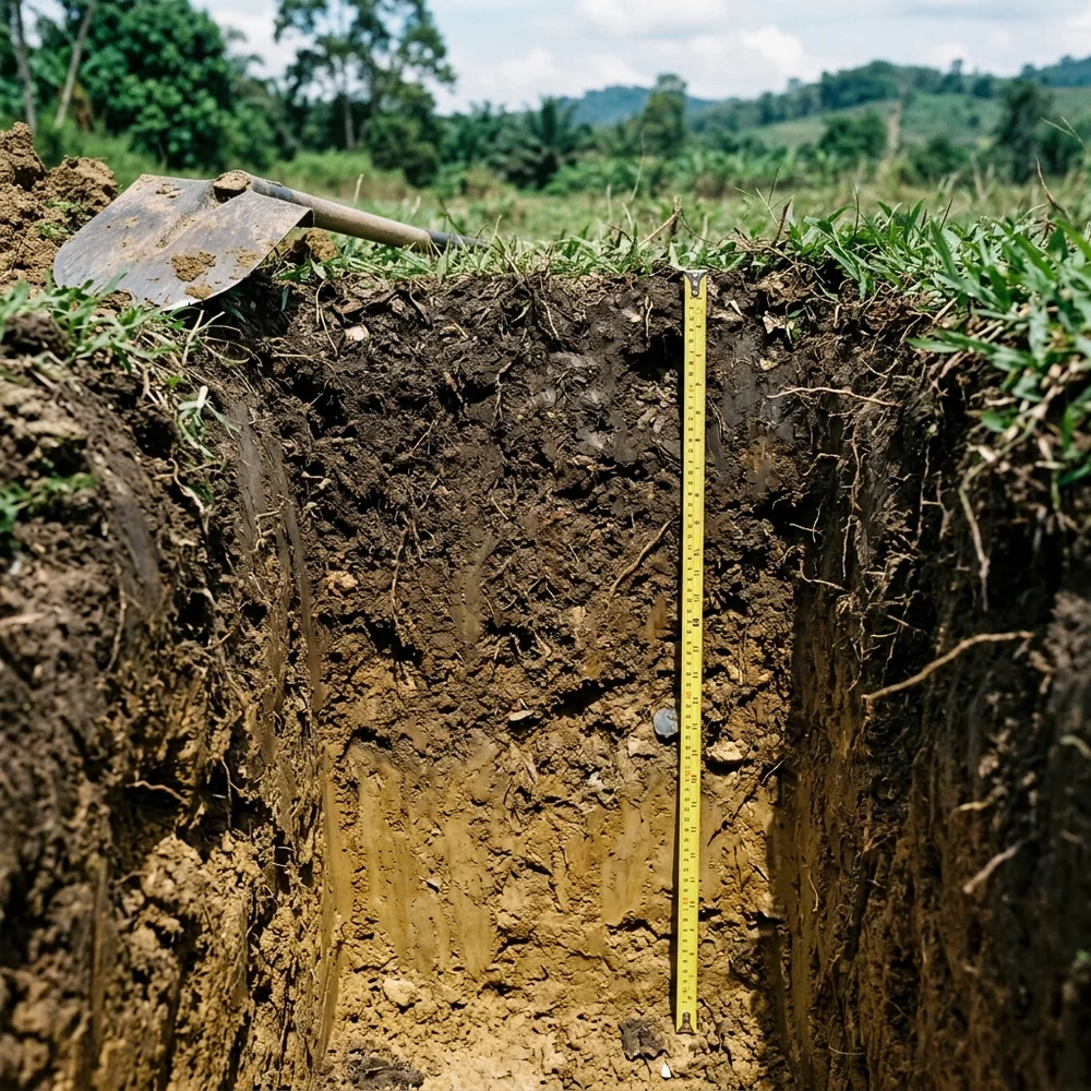
Four hand-auger pits on the mid terrace found 60–90 cm of dark loam over clay, pH 5.8–6.2. Slightly acidic, well drained, low in phosphorus — typical hillside soil that responds fast to compost and rock phosphate. At 2.5 acres there is room for goats and an orchard as well as beds and birds.
Soil pit 2, mid terrace: 80 cm loam.
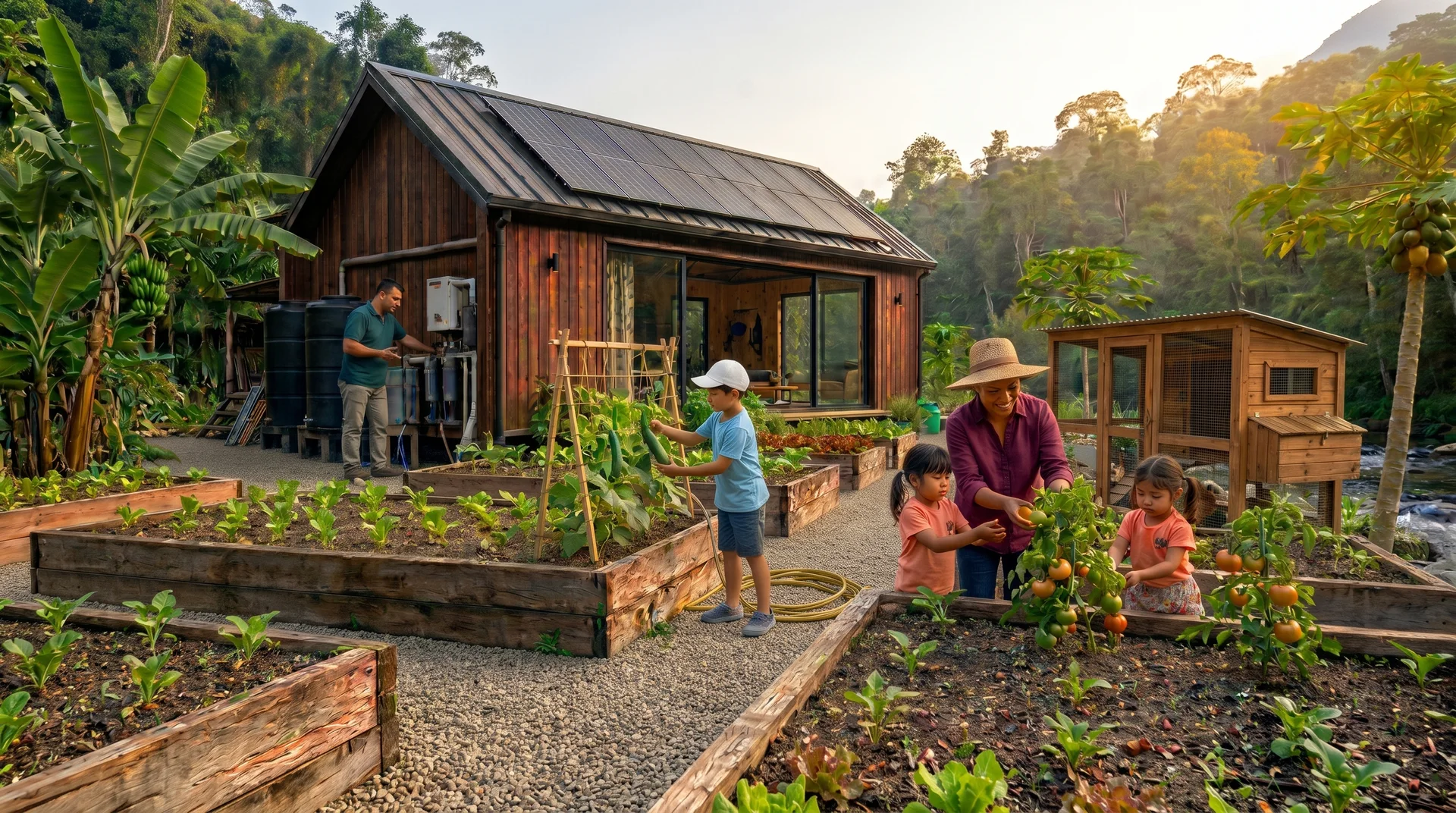
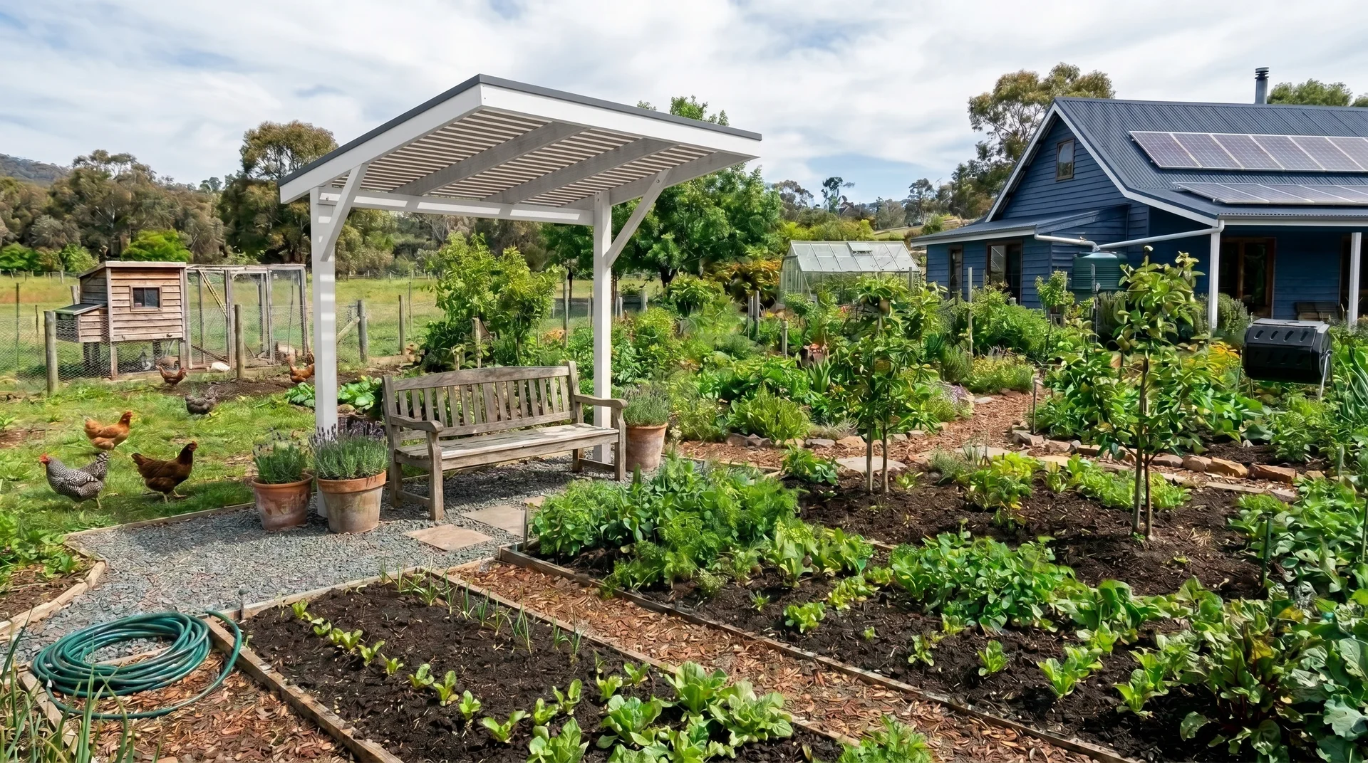
Reference build: raised beds, month 3.
Reference build: 20 layers on rotation.
Lower bench: orchard ground.
Production plan, in payback order
Month 1–2
20 laying hens, 16 raised beds (kangkung, bayam, sawi, chilli, long bean). First eggs and greens inside 8 weeks.
Month 3–6
Meat birds in rotation (25 every 10 weeks), papaya, banana circle on greywater, tapioca and sweet potato as staples.
Year 1–3
Orchard on the lower bench (durian, rambutan, jackfruit, lime), 6 goats on the rough slope, tilapia in the settlement-pond overflow.
10 · Scorecard & recommended next stepsLenggeng, Negeri Sembilan
Overall: 3.9 / 5 — buy on conditions.
Water3/5
Excellent head and quality; dry-season yield unproven.
Energy5/5
Clear southern sky, cheap gravity water frees the load.
Food4/5
Deep loam, 4,800 m² workable; wildlife pressure.
Access2/5
Track needs RM 10k before anything moves.
Build ground4/5
Upper terrace stable; slope discipline required.
Legal3/5
Title category workable with council letter.
Risk4/5
No high-consequence risk once access is fixed.
Cost4/5
Within RM 200k envelope, land excluded.
Before purchase
Bucket-test stream flow across 5 days in Feb–Mar.
Written confirmation from Majlis on dwelling on pertanian title.
Land search and boundary re-peg by licensed surveyor.
Negotiate price against the RM 10k access cost.
First 90 days after purchase
Track regrade, drains and gravel.
House pad cut, surface drains, gabions.
Intake, pipeline and tanks — water before power.
Steel frame up; first 16 beds and 20 hens.
What follows: full systems design.
Build support on site.
Handover with manuals.
Prepared by Beyond the Grid · Intellectual property
This sample report, including its method, layouts, drawings, scoring framework and text, is the intellectual property of Beyond the Grid and is protected by copyright. It is supplied free for personal reference only. No part may be copied, adapted, republished or used to prepare a report for a third party without written permission. A commissioned Land Viability Report covers your plot with our own drone survey, soil pits, flow tests and title search, and is typically more detailed than this sample.
Need an objective feasibility study for your land?
Our multidisciplinary engineering team—including CAAM-certified commercial remote pilots, hydrologists, and agroforestry designers—provides comprehensive on-site analysis before you commit to land purchase or contractor contracts.
 Land Viability Report